
Velký Lopeník - Czech republic

Lookout tower
Velký Lopeník
Velký Lopeník look-out-tower (911 m) is erected directly on Moravia-Slovakian border, and presents a symbol of reciprocal friendship of both nations. White Carpathian Mountains are located on south-east part of Czech Republic, forming partially a border with Slovakia. Its highest peak is Velk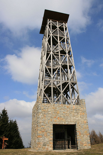 á Javořina (970 m above sea level). Nevertheless, the second highest peak, Velký Lopeník, with its unique look-out-tower, is more interesting for us.
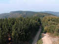
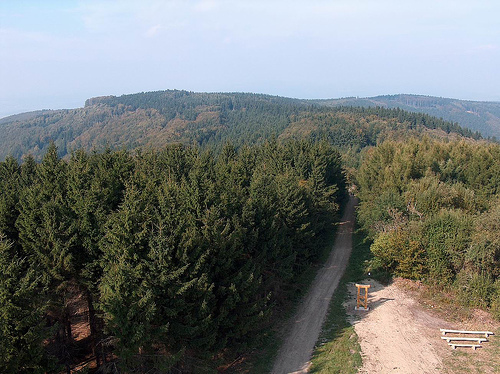
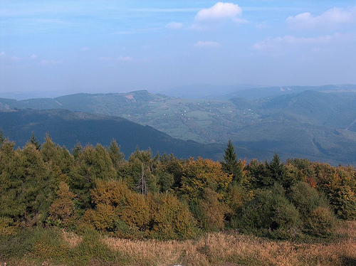
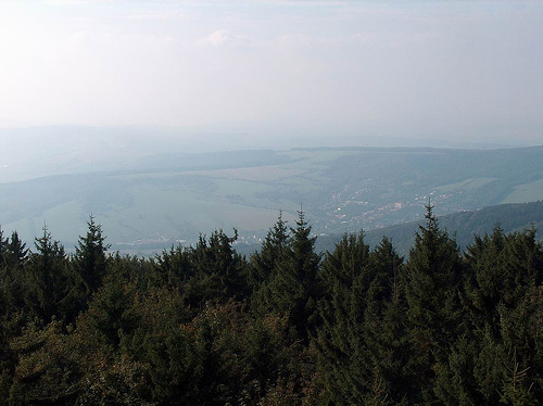
Wooden prismatic tower, finished with asymetric roof is built on stone foundation wall. The look-out-tower is accessible from both parts of state frontier. Since time-period, when it was constructed, many thousands of tourists visited it. For its birth, this building could be thankful to Velký Lopeník communities-associations, from Moravian as well as Slovakian part of the border. The view around is, under good visibility and favourable weather conditions, phantastic. You can watch big part of White Carpathian Mountains, part of Slovakia and to the town of Uherský Brod on Moravian part.
Basic stone was put here on 23rd June 2002. However, the solitary construction started even in September 2004, whereas festive opening took place on 16th July 2005. Total costs for the building made CZK 2 millions approx., under outstanding support of LEADER Programme. Part of these means were obtained from towns, villages and donors, as well as from official public collections, within scope of which picture postcards´ sale was organised. In past, there were situated consequently several look-out-towers on top of Velký Lopeník. So, the first wooden construction was here before 2nd World War. In 1944, Germans built new tower, however, the tower burned out one year later. The reconstruction was made in 1946. The building was 16 metres high and outlasted till 1970, when it crumbled itself
How to get there? You can arrive here from Mikulčin vrch, following green signed tourist path. The way is 5 kms long and with moderate mounting only. It is not too difficult but you have to take in mind to overcome some hills, the exceeding makes 200 m approx. You can also follow green signed path from the opposite side, starting your walking from Staré doly. In that case, you have to cross higher hills, the exceeding makes nearly 600 m. The second possibilty, how to reach the look-out-tower, is to follow yellow market tourist trail, starting directly from the community of Lopeník. Nevertheless, whatever way to the top of Velký Lopeník you choose, your experience will be very pleasant. On this occasion,we wish you nice weather and best visibility.
Text: Denisa Arvajová
Photo: Google, Google Earth


Localities:

Important Information:
![]() Information and warnings on travelling abroad is to be found HERE.
Information and warnings on travelling abroad is to be found HERE.
Mobile application:

![]()
![]()


