Oravská Magura - Slovakia

Extent: 176 km²
This sandstone mountain range is located in north-west part of Slovakia in districts of Námestovo, Tvrdošín and Dolný Kubín. It belongs to Central Beskydy Mountails, forming part of West Carpathian Mountain Range.
Highest peak: Minčol (1392 m).
Surface: very afforested, mostly with fir-wood and beech-wood forests, partially with pine-woods. In upper localities, there are appearing overgrowns of blueberries and meadow plants.
From climatic point of view, the area belongs to colder belt, characterictic with cold winters and hard rains.
| Lokalities Subjects | Articles Photogalery | Videogallery Discussion |
Photogalery

SK, Dolný Kubín – A Town in the Orava River Valley II.
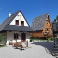
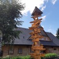
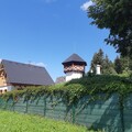
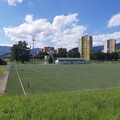
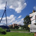
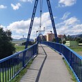
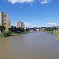
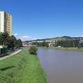
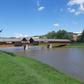
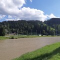
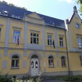
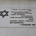
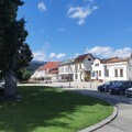
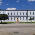
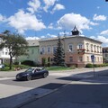
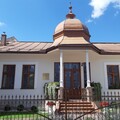
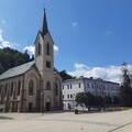
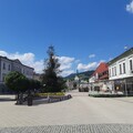
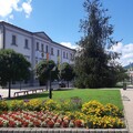
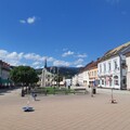
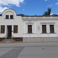
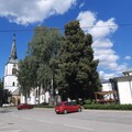
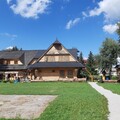
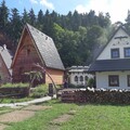
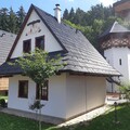
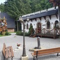
In the following photo gallery we bring you a view of other remarkable places, alleys, monuments and the surrounding natural scenery of the district town of Dolný Kubín. This city of sports, poetic beauty, as well as friendly and hospitable people in the embrace of the beautiful Orava mountains will be happy to welcome and enchant you at the same time.
Text and photos: Oskár Mažgút
 |  |  |
 |  |  |
 |  |  |
Mountains / Europe / Slovakia
Important Information:
![]() Information and warnings on travelling abroad is to be found HERE.
Information and warnings on travelling abroad is to be found HERE.

