Oravská Magura - Slovakia

Extent: 176 km²
This sandstone mountain range is located in north-west part of Slovakia in districts of Námestovo, Tvrdošín and Dolný Kubín. It belongs to Central Beskydy Mountails, forming part of West Carpathian Mountain Range.
Highest peak: Minčol (1392 m).
Surface: very afforested, mostly with fir-wood and beech-wood forests, partially with pine-woods. In upper localities, there are appearing overgrowns of blueberries and meadow plants.
From climatic point of view, the area belongs to colder belt, characterictic with cold winters and hard rains.
| Lokalities Subjects | Articles Photogalery | Videogallery Discussion |
Photogalery

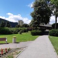
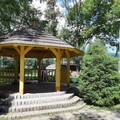
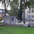
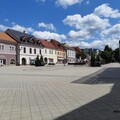
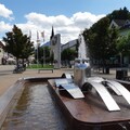
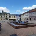
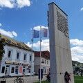
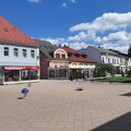
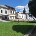
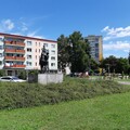
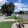
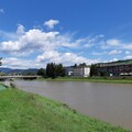
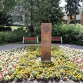
SK, Dolný Kubín – A Town in the Orava River Valley
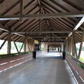
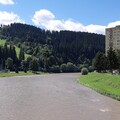
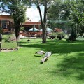
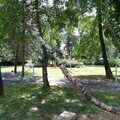
Come with us to walk around the really beautiful town of Dolný Kubín. Not only does it offer valuable historical monuments, fancy sports grounds, attractive history, but also beautiful nature in the immediate vicinity. Through the following photos, we will take you to its center, walk across the bridge and not miss a fairytale village.
Text and photos: Oskár Mažgút
 |  |  |
 |  |  |
 |  |  |
Mountains / Europe / Slovakia
Important Information:
![]() Information and warnings on travelling abroad is to be found HERE.
Information and warnings on travelling abroad is to be found HERE.

