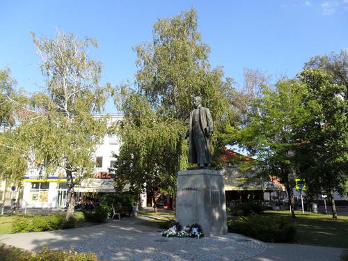
Region of Nitra - Slovakia

Nitra Region has extent of 6343 square kilometres. It is located on southwest of Slovak Republic, bordering in south with Hungary, in west with Trnava region, in north with Trenčín region and on east with Košice region. Its axis is made by Nitra river, joining north and south part of region.
| Basic information about region Localities Subjects | Articles Photogallery Videogallery | Discussion |
 South border of the region is formed with Danube-river. Its tributaries are other rivers, such as Nitra, Small Danube, Žitava, Hron, Sklenica, Štiavnica, Krupinica and Ipel'. Nearly all the region is extended in Danube Highlands and plain, forming complex of Danube Plain. In this area, there are missing the trees, but it is rich on subterranean waters. Its surface is not too rough. The belts along rivers are formed with plains and
  low-lands, valleys and highlands. Mountain ranges are lower and have mostly character of highlands. This region belongs warmest and most productive agriculture areas of Slovakia. Each year, there are getting rich crops of wheat, sunflower, sugar-beet and other agriculture products.
The town of Nitra is a capital of the region, rich on cultural and historical sightseeings. Here, you can find seats of many offices and scientific institutes, as well as centre of railway junctions. Even river port in the town of Komárno, on Danube-river, has quite big importance.
South part of this region is rich on mineral water springs and thermal sources. From tourist point of view, the town of Štúrovo and Podhajska are quite important, especially for healing results of these spring. In the town of Levice, you can buy Santovka mineral water.
Text: Monika Babická
Photo: R. Tvarožka, J. Výborný
Regions / Europe / Slovakia
Guide:
Important Information:
![]() Information and warnings on travelling abroad is to be found HERE.
Information and warnings on travelling abroad is to be found HERE.


